Practical Masterclass Training in GIS, Handheld GPS, and Drone Mapping for GIS Data Collection, Digital Aerial Photographs, and Database Updates for Local Authorities, Utilities, and Regional Councils (with software installations and access to complete course online content)
About Course
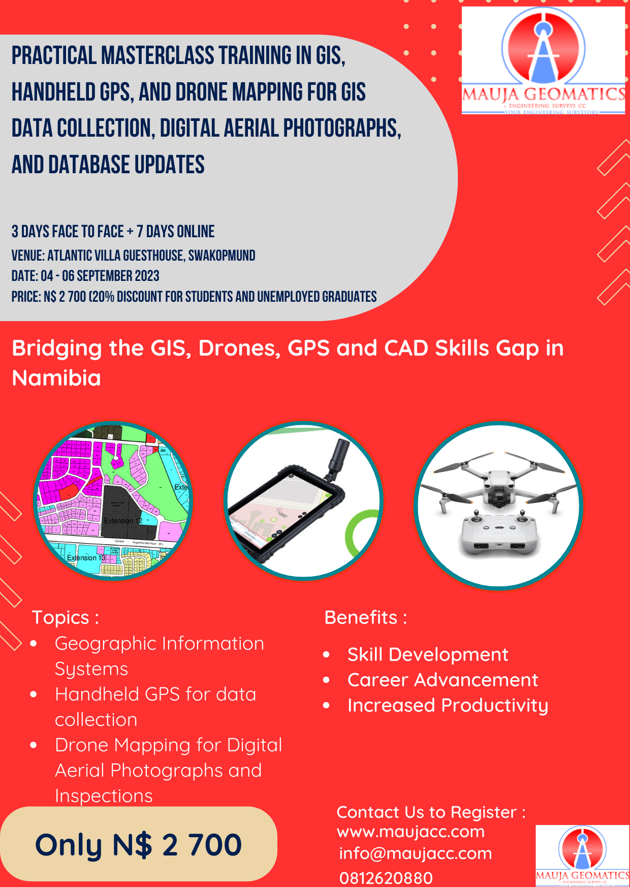
Mauja Geomatics & Engineering Surveys CC is organizing a Practical Masterclass Training in GIS, Handheld GPS, and Drone Mapping for GIS Data Collection, Digital Aerial Photographs, and Database Updates for Local Authorities, Utilities, and Regional Councils (with software installations and access to complete course online content) in Swakopmund starting on 04 to 06 September 2023(with extra online content to be completed at own pace within 7 days). This highly practical training is aimed at capacity building for Local Authorities and Regional Councils in Global Positioning Systems (GPS) and Geographical Information Systems(GPS), and drone mapping and image processing using the latest cutting-edge hardware and software tools and techniques. Participants will learn how to design data collection techniques using GPS, field collection of data using GPS equipment, verification, and analysis of collected data, how to GIS to manage assets, infrastructures as well as property management, how to apply different GPS, GIS, and drone functionalities and produce maps and drawings,
This training prepares the participants to have substantial contributions toward the implementation and management of the GIS systems as well as the mapping of utilities for Local Authorities and Regional Councils. This is vital training to equip employees in land delivery, property management, maintenance, and inventories of assets, as well as for planning and decision-making support to councils.
The training will be intense and trainee-focused; therefore, book your place early, as spaces are limited. The course is open to all employees of Local Authorities and Regional Councils with No background in drones, handheld GPS, and GIS. You are invited to Nominate staff members from your organization to participate in this three days training. The training is also open to students and unemployed graduates at the discounted rate of 20% or N$ 2 160.00. Additionally, this training has comprehensive and fully interactive online course content that participants can access and further improve their skills at their own pace.
Course Content
Introduction to the Course
-
About The Instructor
00:00 -
Course Content
00:00 -
Rules of Engagement inside the training room
00:00 -
Participants Introduction and Registration
00:00
Basics of Coordinate Systems and Transformations
Geographic Information Systems(GIS)
Handheld Global Positioning System(GPS)
Drone Mapping for GIS Data Collection, Digital Aerial Photographs, and Database Updates
Closing and Certificate Handover
Student Ratings & Reviews
